NZTopo250 Topographic Maps
NZTopo250 Topographic Maps
Regular price
$8.00
Regular price
Sale price
$8.00
Unit price
per
Tax included.
Couldn't load pickup availability
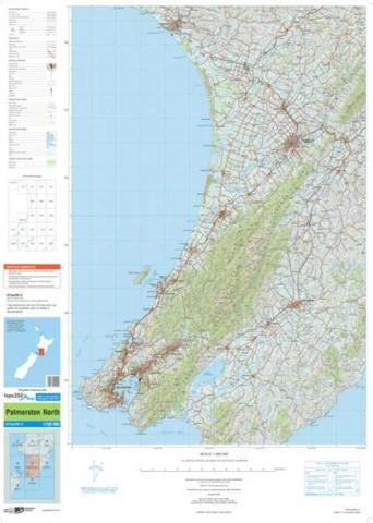
Large-scale topographic maps used by government and emergency services. 250,000 to 1 scale. Compared to NZTopo50, NZTopo250 covers a 25x more area of real terrain per map, albeit with reduced detail.